- Thumbnail

- Resource ID
- a7b3d4d6-594a-11ea-85eb-02f25c5c7296
- Title
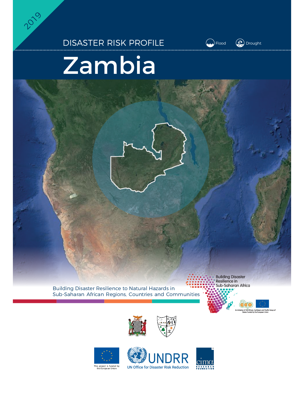
- ZMB: Zambia Risk Profile - Floods & Droughts (2019)
- Date
- Dec. 30, 2019, 11:31 a.m., Publication
- Abstract
- The 2019 revision includes:
- Better link to the Sendai Indicators;
- Homogenisation of hypotheses and fine tuning as designed during the development of the 16 risk profiles (e.g. scenarios
hazard maps interpolation parameters, pluvial flooding hazard assumptions);
- Homogenisation of Layers (e.g. update of the roads classification and values on the basis of the workshops feedbacks);
- Use of new available regional data that were not available during the first iteration for the exposure downscaling (e.g. Sentinel-2
Land use, OSM updates);
- Use of new local data provided after the workshops (e.g. new administrative boundaries, new critical infrastructures layers);
- Point by-hand modifications on hotspots highlighted by local people at the workshops:
i) location of high potential loss facilities,
ii) check on flood defences assumptions on the basis of local knowledge,
iii) gap filling of hazard maps on particular vulnerable places
The Country Risk Profiles provide a comprehensive view of hazard, risk and uncertainties for floods and droughts in a changing climate, with projections for the period 2050-2100. The risk assessment considers a large number of possible scenarios, their likelihood, and associated impacts. A significant amount of scientific information on hazard, exposure, and vulnerabilities has been used to simulate disaster risk. Africa Disaster Risk Profiles are co-financed by the EU-funded ACP-EU Natural Disaster Risk Reduction Program and the ACP-EU Africa Disaster Risk Financing Program, managed by UNISDR.provided
- Edition
- Version 2
- Owner
- admin
- Point of Contact
- ad@m.in
- Purpose
- --
- Maintenance Frequency
- irregular
- Type
- not filled
- Restrictions
- None
- License
- Not Specified
- Language
- eng
- Temporal Extent
- Start
- --
- End
- --
- Supplemental Information
- Nessuna informazione fornita
- Data Quality
- Africa Disaster Risk Profiles are co-financed by the EU-funded ACP-EU Natural Disaster Risk Reduction Program and the ACP-EU Africa Disaster Risk Financing Program, managed by UNISDR. The contents of this publication are the sole responsibility of CIMA Research Foundation and can in no way be taken to reflect the views of the European Union or UNISDR. Products elaborated in this report are realized to the best of our ability, optimising the publicly available data and information. All geographic information has limitations due to scale, resolution, date and interpretation of the original sources.
- Extent
-
- long min: -180.000000000000000
- long max: 180.000000000000000
- lat min: -90.000000000000000
- lat max: 90.000000000000000
- Spatial Reference System Identifier
- EPSG:4326
- Keywords
- no keywords
- Category
- Geoscientific Information
- Regions
-
Africa
,
Zambia
